
Vincent Cemetery
Worcester County, Maryland
(A Virtual Tour)
This is the third of my "virtual" cemeteries to go on the Web! The Vincent Cemetery is a small family plot with two marked graves. I did not see any evidence of graves that were unmarked. It is located in the northwest corner of Worcester County only yards from the Somerset County line that is marked by Meadow Bridge Road at this point. The Vincent cemetery is located on the east side of Meadow Bridge Road at approximately 38 degrees, 15.7 minutes North Latitude; 75 degrees, 36.4 minutes West Longitude or about one mile south of the point where the counties of Wicomico, Worcester and Somerset tri-sect. In this area, Meadow Bridge Road divides Somerset County (to the west) from Worcester County (to the east). Hence, the cemetery, located in Worcester County, Maryland. The cemetery can be located on the 1876 maps on the "J.H. Vincent" farm, just south of "I. Hitch" and the "Meth Chur." (next to "School No. 6") in the Atkinsons District of Worcester Co. It is also referenced on the Princess Anne District of Somerset Co., just outside the district line to the east.
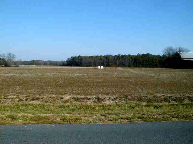
This page is set-up where you can take a "stroll" around the cemetery on the map below and "click" on a gravestone to see it's picture. A general view of the cemetery can be seen in this picture-> VINCENT CEMETERY. All pictures were taken on Saturday, January 1, 2000. Below the map is a table of all the graves in the cemetery. Use the Key Numbers in the table to cross-reference with the numbers in the map. You can also access the gravestone pictures by clicking the Key Numbers in the table. Please let me know what you think of this page by E-Mailing me at mikehitch@mikehitch.com. THANKS & ENJOY!
BACK to Eastern Shore History BACK to HOME PAGE Last Update: 08/19/2005 10:36 AM
| KEY NO. | Surname | Given Name | Born | Died | NOTES |
| VINCENT | Priscilla | Jan 29, 1796 | Oct 27, 1852 | ||
| VINCENT | Benjamin | Jul 22, 1783 | May 3, 1855 |